Habitat Information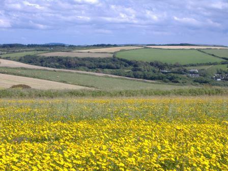
An overview of the habitat of the local area can be a very useful aid in planning. For your study area, we are able to provide Phase One habitat data, widely recognised as the industry standard for habitat surveys. For a more accessible representation of habitat, ERCCIS Landcover creates a more visually appealing map which can be easily interpreted by those unfamiliar with Phase One. Finally, we are able to map the areas of Biodiversity Action Plan (BAP) Priority Habitat within your study area, thus identifying the areas of habitat most important for conservation. Nineteen priority habitats have been selected for the search; please contact us if you require a list or definitions of these habitats[LG2] .
ERCCIS owns, collates and manages a huge amount of data relating to the natural environment of Cornwall and the Isles of Scilly and as of the start of 2016 ERCCIS manage over 4,000,000 habitat records in 115 GI datasets and all the data available for release is brought together via the ERCCIS Wildlife Information Service Reports System.
Habitat data will be summarised in a corresponding letter and accompanied by maps prepared from definitive boundary information, supplied with site citation sheets and site summary sheets where available.
Habitat information available:
Landcover05 - ERCCIS Land Cover Interpretation at 2005 baseline
Created using aerial photographs, survey data and expert opinion the ERCCIS land cover was completed in 2009. There are 80 habitat types that make up the 2005 baseline ERCCIS land cover and it represents our best understanding of the natural environment in Cornwall and Scilly.
Phase1 - ERCCIS Phase1 habitat Interpretation at 2005 baseline
There are 50 habitat types that make up the 2005 baseline ERCCIS phase one interpretation. It is a re-coding of the ERCCIS land cover to make it more relevant for standard ecological surveys.
BAP - ERCCIS priority habitat Interpretation at 2001 baseline
- Specific Habitat DatasetsE.g. Cornwall Hedges 2015
- NVC DatasetsE.g. Lizard NVC Survey 2003
- Inventory DatasetsE.g. Cornwall Culm Audit
- Isles of Scilly Habitat DatasetsE.g. IoS Land cover 2005
- Historic Land Cover DatasetsE.g. Cornwall land cover 1995
- Marine Habitat DatasetsE.g. Cornwall North Coast Intertidal habitat Survey 2012-14
- UAV & Remote Sensed DatasetsE.g. Bostraze Reserve Survey 2015
Inventory Datasets
- The Heathland Inventory for Cornwall;
- The Culm Audit for Cornwall.
Isles of Scilly Habitat Datasets
- The Isles of Scilly Vegetation Status (Isles of Scilly Wildlife Trust Ownership).
Land Cover Datasets
- The Land Cover of Cornwall 1988;
- The Land Cover of Cornwall 1995;
- The Land Cover of Cornwall 2005;
- The Land Cover of the Isles of Scilly 2005;
- The Land Cover change for Cornwall 1995 to 2005.
Marine Habitat Datasets
- The Cornish North Coast Intertidal Habitats (The Intertidal Discovery Dataset).
NVC Datasets
- The NVC Lizard survey (The National Trust Ownership).
Phase1 Datasets
- Cornwall Phase 1 (Based on Cornwall Land Cover 2005);
- The Cornwall Wildlife Trust Phase1 Surveys (The Cornwall Wildlife Trust Ownership).
- Priority Habitat Datasets
- The Local Sites (BAP) Habitat Surveys.
UAV or Remote Sensed Datasets
- Upton Towan's (trial) UAV Survey
The habitat data hosted and owned by ERCCIS includes datasets using various habitat recording systems include Phase1, NVC, Intertidal Phase1 and 2, EUNIS, (ERCCIS) Land cover system and Priority Habitats (formally BAP);
- with various temporal coverage from 1988 to 2015;
- with various spatial coverage from surveys under 1Km2 to the whole of Cornwall and the Isles of Scilly
- with various ownership and original surveyors includes dataset created by ERCCIS and datasets hosted for external organisations;