Non-Commercial Data Requests


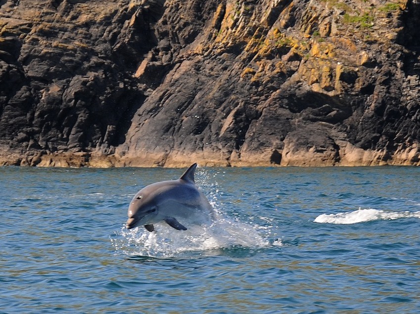
Bottlenose dolphin by Adrian Langdon
@Adrian Langdon

If you are a non-commercial client, such as a student or local recording group, then we can carry out a bespoke data search to fit your requirements. Please fill the form in below. 

Firstly it is important to take some time to consider the information you require to ensure we provide the most appropriate information for your needs. Please read all about all the Information we Hold and our Terms and Conditions before proceeding to the request form at the bottom of this page.

To request a data search please fill in the form below. Once the form has been successfully submitted, you will receive automatic confirmation by email.

There may be a charge for this service - depending on the type and reason for your request and will endeavour to let you know this as soon as possible once we have received your form. 

If you are a stakeholder and wish to request data, please contact us directly.

Information Request Form

Contact Details

Type of Request - who are you
Who are you? It will help us understand what you are looking for

Let us know why you are asking for information. Include a project description if applicable. 

(eg - Working as an agent for landowners to compile an application for Forestry Commission woodland grant to extend woodlands) 


Please give us the location, ideally as a grid reference and radius of search, and an address. If this is part of a project, please add the project name. If you require a search around a site boundary, please use the file upload option below to provide your area of interest, either as a map (e.g. JPEG) or a compressed (zipped) folder containing your GIS shapefile.

(eg SX123456 and 1000m radius, Waterloo Farm, Blisland Community Woodland Project, PL522TT)

Information Required

Please select all the information you require from the list below. 

Full list of designations available here

If there is something specific you need please add it to 'other'

Designations
Statutory - RAMSAR Sites; Special Protection Areas; Special Areas of Conservation; Sites of Special Scientific Interest; Marine Conservation Zones; Areas of Outstanding Natural Beauty; National Nature Reserves; Local Nature Reserves; Country Parks
Non-statutory - County Wildlife Sites; County Geology Sites; VMCAs; Cornwall Roadside Verge Inventory; Cornwall Ancient Woodland Inventory; TPOs; Cornwall Wildlife Trust reserves; National Trust land; RSPB reserves; Woodland Trust reserves
Habitat
Habitat - Land Cover. ERCCIS Landcover maps 2005, including semi-natural habitat interpretation
Habitat - BAP Habitat - UK Biodiversity Action Plan Priority habitat maps
Habitat - Phase 1 Habitat - ERCCIS Phase 1 habitat map interpretation
Habitat - Hedges layer - 2015 interpretation of rural hedges within Cornwall using LiDAR data
Datasets and Species
Inventory Datasets - including North Coast Intertidal habitat survey and the Heathland Inventory for Cornwall
Species - All Species for your area
Species - Notable species drawn from the Joint Conservation Committee Species of Conservation Concern list
Other...
If you clicked other above, please give details of what else you require.

Upload zip file if including multiple files
Upload requirements

Terms & Conditions

Please read our Terms and Conditions before you send this form and tick that you agree. 

CAPTCHA
This question is for testing whether or not you are a human visitor and to prevent automated spam submissions.